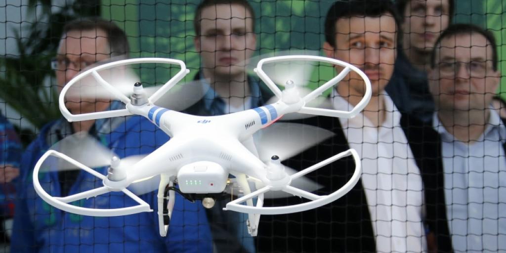
"Training Services"
With DRONE SOLUTIONS you can get training courses to learn how to use drones
And enter into this area with valuable and distinct information
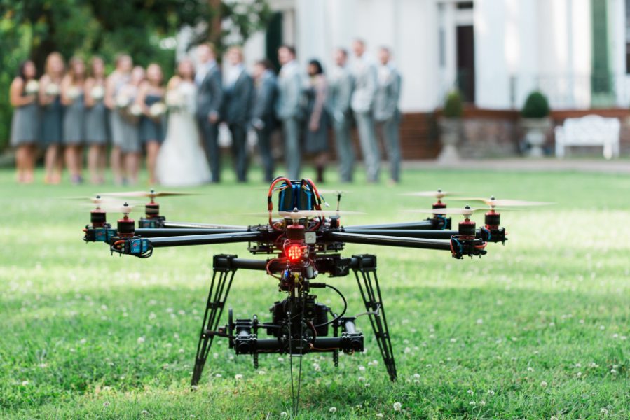
"Artistic and Cinematographic Photography"
This is through the integrated work of photographers, montages and directors, and thanks to the use of the latest drones
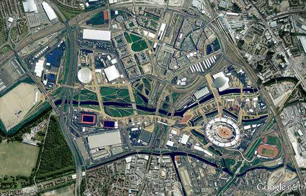
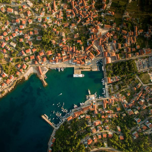
"Aerial mapping"
With DRONE SOLUTIONS you can get the best weather maps
You can identify geographic locations
"Community Services"
We have been able to provide many services and initiatives that serve the community in general
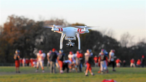
"Aerial Photography Services"
Using the latest UAV technology
We can shoot any scenes and take any pictures you want
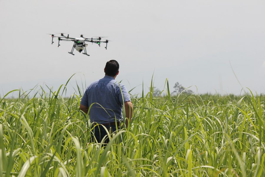
"UAV software to know the suitability of land for agriculture"
This is in order to maximize crop yields and reduce costs using UAV data showing land suitability for cultivation
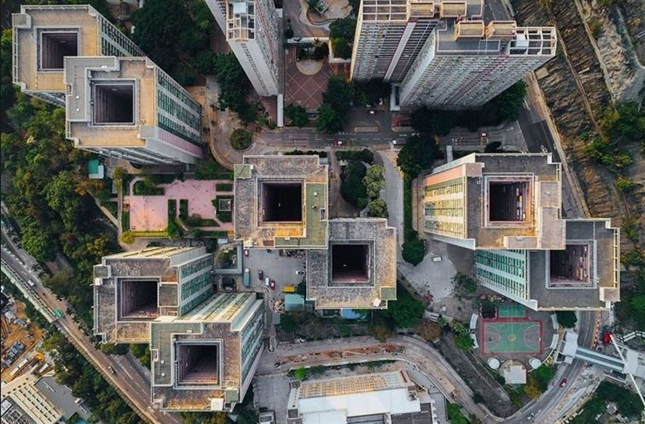
"Aerial photography of land and construction surveys"
Providing unmanned aerial maps of the territory with 3D models and clear images
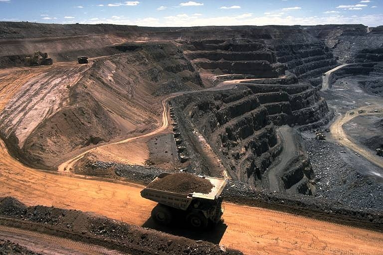
'Maps of Mining and Quarrying Places'
Using aerial data to save costs and time for a variety of mining operations

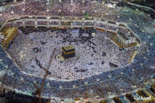
"Surveillance and Insurance Maps"
Capture high resolution aerial photographs of any location easily and completely securely in just minutes
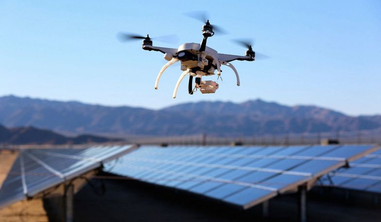
"Maps for Solar Panels"
These maps contribute to the installation and monitoring of these panels and improve the safety, accuracy and efficiency of solar projects
"Observation of surfaces"
Drones can be used in the process of observing surfaces very easily and accurately
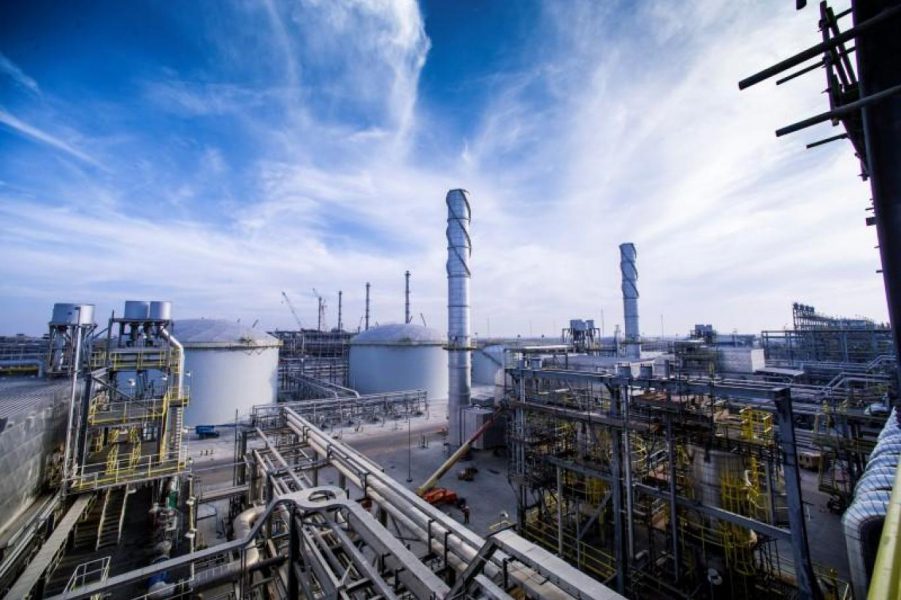
"Oil and Gas Inspection"
Inspections of facilities at oil and gas sites can be widely managed using drones.
Professional Services
"Professional Services"
Professional services can be provided through drone operations, which contribute to increased return on investment and others